Ranger OS LogoRanger OS

Land and sea management

Land and sea management software for ranger programs.

RangerOS records sea, river and land ranger work in the same place, so teams caring for Country don't have to split their patrols across separate systems.

RangerOS tide monitoring and sea-level alerts for coastal ranger work
Proof
Marine and waterway incidents
Proof
Operational zones with effective dates
Proof
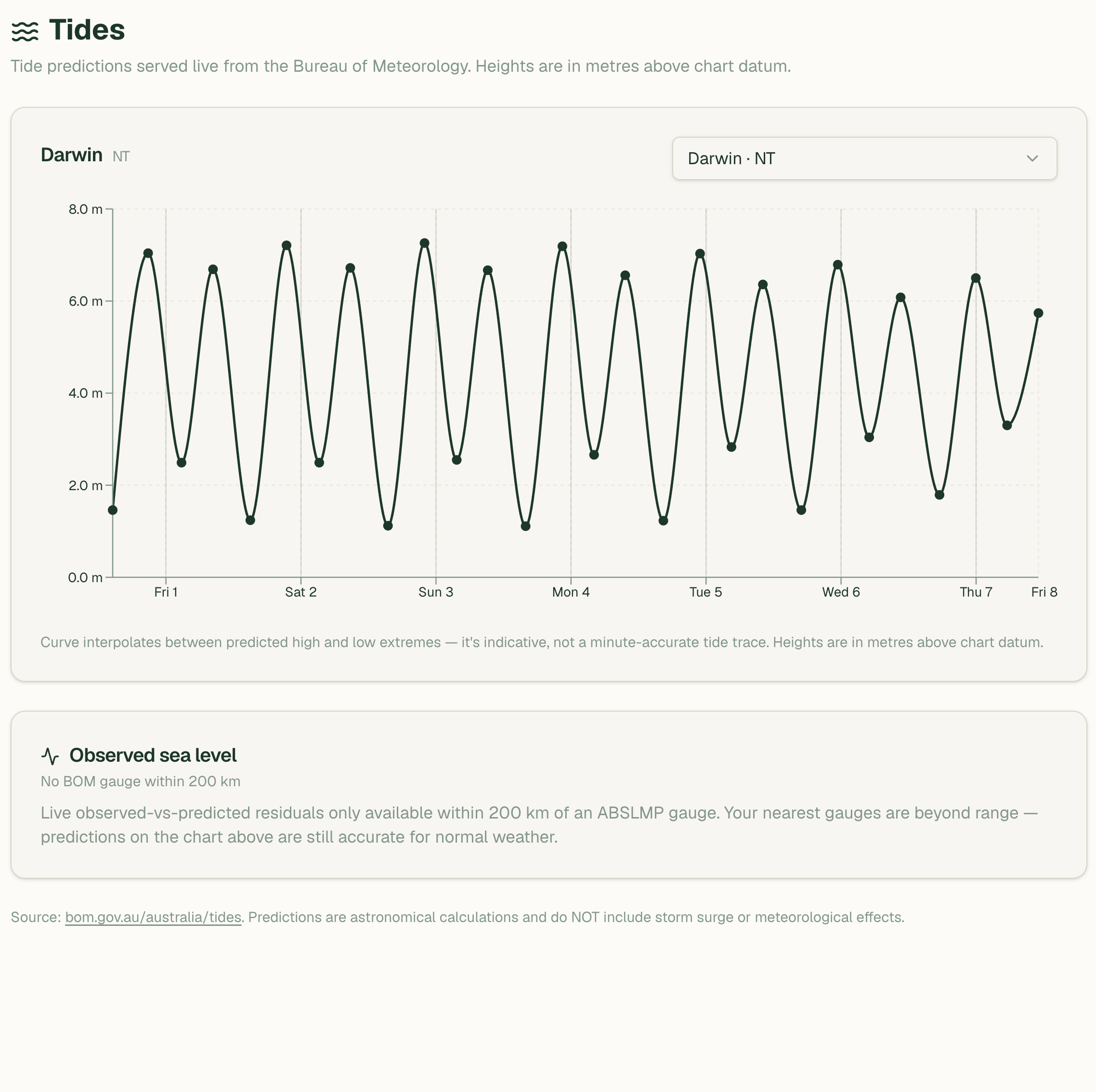
Tide predictions and sea-level alerts
Proof
Offline capture from the mobile app

Search intent

Built for the terms buyers are actually searching.

Sea Country work has its own fields

Incidents cover illegal fishing, vessels, marine debris, biosecurity, pollution and waterway hazards. Rangers can record vessel markings, persons aboard and gear or catch observed, then attach the evidence to the record.

Zones that match how Country is managed

Marine protected areas, seasonal closures, cultural waters and river reaches can each carry their own effective dates. A record inside a zone can be tagged, flagged for review or marked as a likely breach, and cultural-waters records can be restricted.

Conditions sit next to the plan

BOM tide predictions, observed sea-level alerts and warnings show on the dashboard beside patrols and tasks. Coastal water quality starters cover salinity, sample depth and Secchi depth for estuary work.

Common questions

Can one system handle sea and land ranger work?

Yes. Sea patrols, river work and land-based patrols use the same incidents, tasks, safety checks and reporting, so the program keeps one operational record.

Does it work on the water with no signal?

Sea and river records can be captured in the mobile app offline. They're held on the device and sync when it's back in coverage.

Where do the tide and sea-level feeds cover?

Tide predictions come from BOM ports. Observed sea-level alerts use BOM gauges in the NT, Queensland and WA, so coverage is lighter in other states.