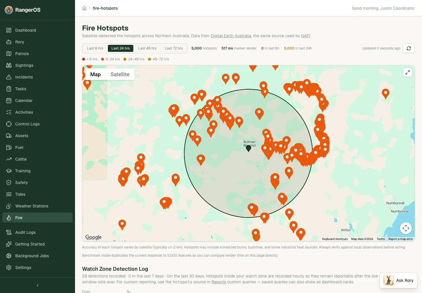
Field records land on the map
Sightings, incidents, feral and weed control logs and fire hotspots show on map views, with the date, time and coordinates on each marker. Patrols keep their GPS tracks, and burns keep their polygon boundaries. Property and site boundaries also show together on one overview map, with road and satellite views.
Bring your existing spatial data
Import GeoJSON for zones and boundaries, bring in property and site boundaries from GeoJSON or KML, or draw patrol zones and burn areas directly in RangerOS. Drone data can sit with the field records it relates to, and RangerOS works with ArcGIS if that's where your program's GIS lives.
Land access planning maps you can share safely
Land access planning covers areas of interest, protected areas, landmarks and cultural sites. Export only the records you mark as shareable as GeoJSON, KML, SVG or a printable HTML report. Leave sensitive records out, strip identifying text, or shift markers by a set distance so company maps don't hand over exact cultural-site locations. Exports are planning information only. They don't grant land access or approval to build.
Boundaries on the phone, offline
Patrol zones and burn boundaries are sent to the mobile app for offline map use, so rangers still have them when there's no reception.