Operational records for country work
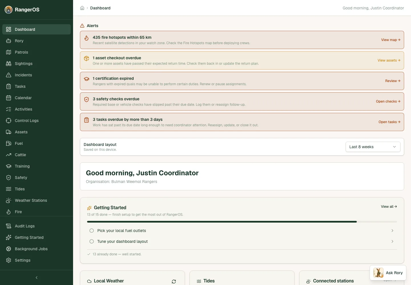
Patrol zones, sightings, incidents, control logs, planned burns, tasks and safety checks sit together so the work can be reviewed across the program.


Indigenous land management
RangerOS supports Indigenous land management programs that need patrol evidence, country awareness, safety routines, tasking and reporting records to stay connected.
Search intent
Patrol zones, sightings, incidents, control logs, planned burns, tasks and safety checks sit together so the work can be reviewed across the program.
Fire hotspots, tides, weather, road closures, fuel prices and station logistics help teams plan the day with current operational context.
RangerOS keeps structured records attached to dates, people, places and outcomes, so knowledge is not lost between patrols, staff changes or reporting periods.
Rangers can send a land access request to a nominated Traditional Owner by email. The Traditional Owner doesn't need a RangerOS login. They approve or decline from a one-time link, confirmed with a six-digit code the ranger passes on separately by phone or in person. Approval issues a signed certificate with a QR code, so anyone checking a land access permit can verify it online.
Alongside approvals, land access planning maps hold areas of interest, protected areas, landmarks and cultural sites. When you need a company map report, export only shareable records as GeoJSON, KML, SVG or printable HTML, with options to withhold or shift sensitive locations so exact cultural-site geometry stays inside the organisation.
When data leaves the organisation, community custodians decide what travels with it. A designated custodian can apply official Local Contexts Traditional Knowledge (TK) and Biocultural (BC) labels to a layer, map feature, place or document, with public wording the community has approved. Administrator access alone doesn't grant cultural authority. Records marked secret or sacred, community use only or never share externally stay out of every external share, and labels on a layer apply to every record in it.
Coordinators can share selected features, places, approved documents or an area through a link that expires and can be revoked or password protected. Labelled records need active custodian consent, recorded with the grantor, purpose, recipient and expiry, and partners see them with approximate locations and identifying names withheld. Seasonal restrictions are checked on every request, and men's and women's protocols keep restricted records off anonymous links. Partners view a scoped map and can download watermarked GeoJSON, CSV or PDF copies.
No. Reporting is one outcome. RangerOS is also a daily operations system for patrols, safety, tasks, assets, fuel and field coordination.
Yes. RangerOS includes an offline-first mobile app that captures tasks, incidents and activities without signal and uploads automatically when the device is back in coverage.
Yes. A Traditional Owner can approve or decline a land access request from an emailed link without a RangerOS account, and their consent is confirmed with a separate one-time code. RangerOS then issues a signed certificate with a QR code. Scanning it opens an online permit verification page that shows whether access is valid, expired or revoked. The check needs an internet connection.
Yes. Export only the planning records marked as shareable. You can leave sensitive records out, remove identifying text while keeping geometry, or replace locations with markers shifted by a chosen distance. Exports are planning information only and don't grant access or approval to build.
External sharing is an opt-in module built around community authority. Only designated custodians can apply cultural labels or record consent. Restricted records are left out of share links, and every request rechecks the current labels, consent and link expiry before any data is shown. When consent is withdrawn or expires, the shared data stops showing.